
Best Hikes in Tucson
Tucson is a hiking city the way some cities are beach towns — the trails start where the neighborhoods end. These are the classics, from canyon waterfalls to a sky island.
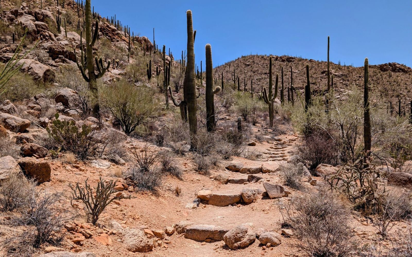
The essentials
Sabino Canyon (NE) — the beloved local canyon: a paved tram road for easy walks, the Bear Canyon trail to Seven Falls for swimmers, and Blackett's Ridge for those who want the climb. Catalina State Park (Oro Valley) — Romero Pools after rain, gentle canyon loops year-round. Tumamoc Hill (west) — the after-work institution, a paved uphill with a sunset payoff.
Saguaro National Park, both districts
West: Signal Mountain's petroglyphs and the Valley View overlook at golden hour. East: the Cactus Forest loop drive and backcountry trails into the Rincons. Two parks, one city — most hikers develop a loyalty.
The summer escape
Mt. Lemmon — drive 7,000 feet up into pine forest: Marshall Gulch and the Aspen Draw trails hike 30 degrees cooler than the valley floor. In June, this is where Tucson hikes.
Desert rules, non-negotiable
Carry more water than feels reasonable (a liter per hour is the standard advice), start at dawn in summer, wear the hat, watch for rattlesnakes March–October, and never cross a flooded wash. The desert rewards hikers who respect it and invoices those who don't.
New here? The trails are a big reason people come — see why people move to Tucson.